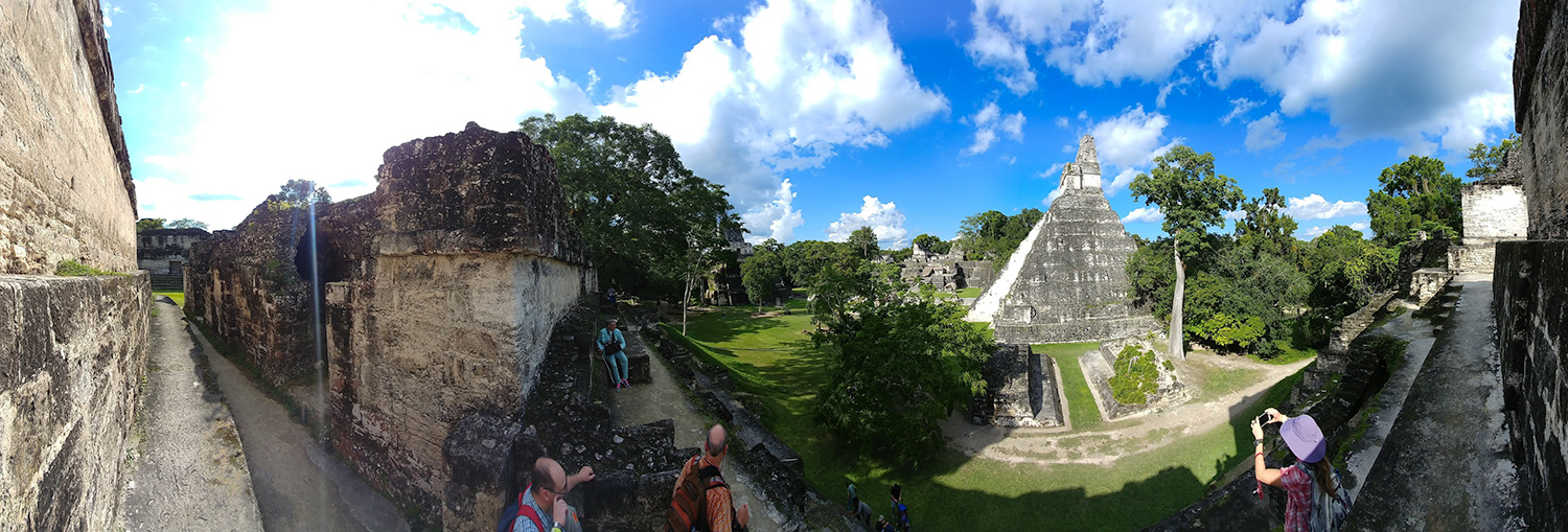
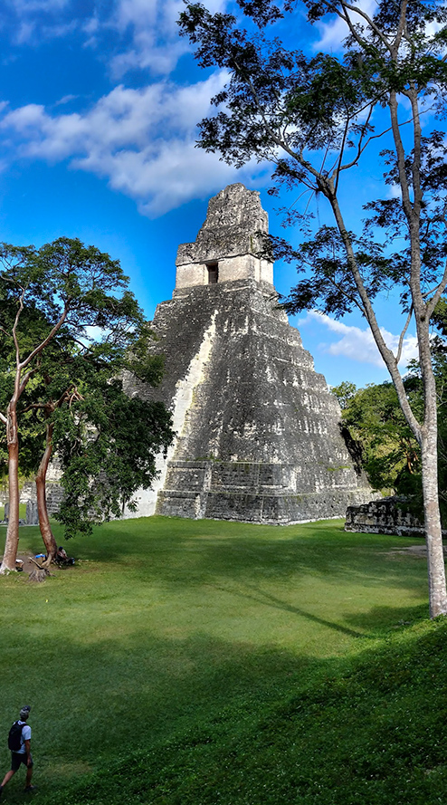
Nov 22, Wednesday: Tikal
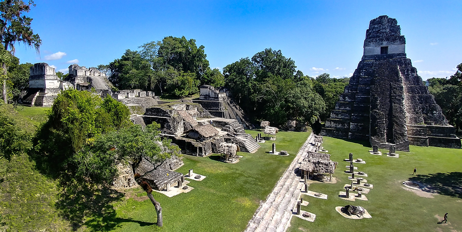
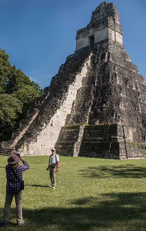
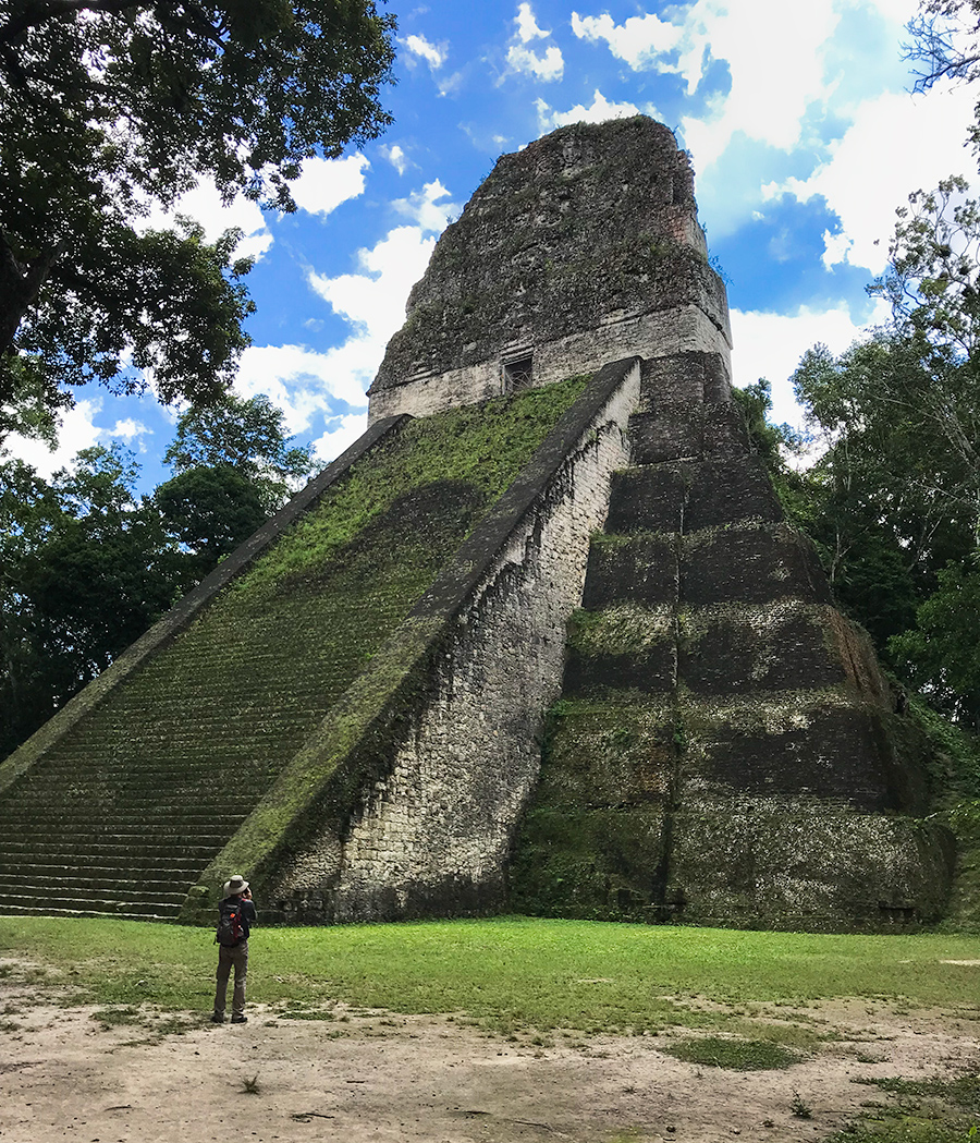
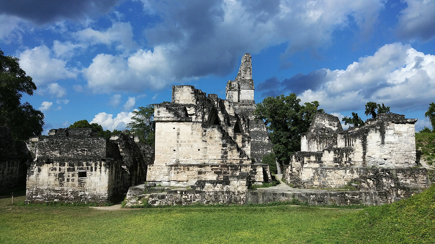
North Acropolis–The height of Temple I on the right is 154 feet. Its stairway climbs at an angle of 72 degrees.
“Tikal National Park encompasses 575 square kilometres of jungle and thousands of ruined structures. The central part of the ancient city alone contains 3,000 buildings and covers about 16 square kilometers. Archeologists estimate that the Maya settled in the area now known as Tikal in about 900 BC. Tikal grew into an important ceremonial, cultural, and commercial centre over the centuries. Most of the city’s huge temples were constructed during the eighth century AD when Tikal became the greatest city in the Maya world with a population of perhaps 100,000.” [http://www.tikalnationalpark.org/]
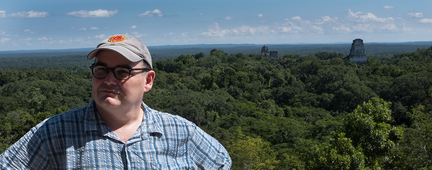
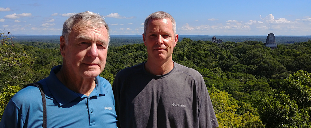
Paul and the “Star Wars” view from from the top of the Temple IV. The top is reached by way of a long wooden stairway to a splendid view from the summit. At a height of 230 feet Temple IV is considered to be the tallest pre-Columbian structure in the Americas.
CONTINUE TO RIO DULCE AND QUIRIGUA
